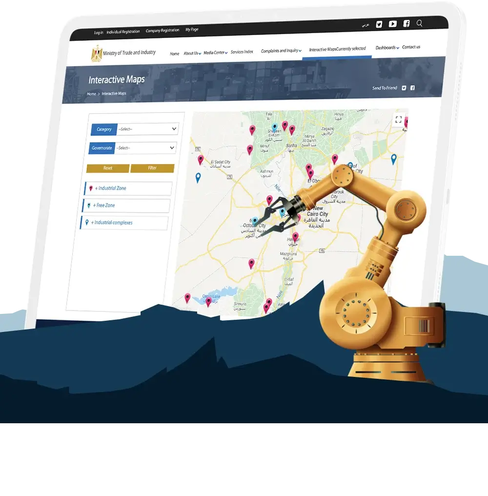
MTI Interactive Map
Egyptian Industrial Investment Map – Government
The Egyptian Ministry of Trade and Industry launched an interactive map designed to attract and support industrial investment. Built on Google Maps API, the platform provides a powerful visual tool that helps both local and international investors explore Egypt’s industrial landscape and identify the most strategic locations for their businesses.
By organizing data into thematic layers, the map highlights over 27 industries and the key logistics that support them, enabling investors to make informed decisions about where to establish their factories and operations.
The Interactive Industrial Investment Map empowers investors to match their industrial projects with the correct location, workforce, and infrastructure, positioning Egypt as a competitive hub for global manufacturing.